Sunset begins for paper charts as NOAA shifts to digital delivery

Sunset begins for paper charts as NOAA shifts to digital delivery

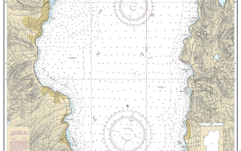
The National Oceanic and Atmospheric Administration (NOAA) began to phase out production of its paper nautical charts on Feb. 26 starting with Lake Tahoe, the first of 1,700 charts being converted to exclusively digital delivery. The Raster Sunset Plan being implemented by NOAA’s Office of Coast Survey includes a process to notify mariners of the transition for each paper chart…
Read More
GPS interference plaguing navigation in some regions, MarAd warns

GPS interference plaguing navigation in some regions, MarAd warns

Mariners should be on the lookout for significant Global Navigation Satellite System (GNSS) interference, especially in the eastern and central Mediterranean Sea, the Persian Gulf and multiple Chinese ports, according to recent alerts from the U.S. Maritime Administration (MarAd). The interference has resulted in lost or inaccurate signals affecting bridge navigation, GPS-based timing and communications equipment. Satellite communications gear also…
Read More